| Continent: |
Asia |
| Location: |
Situated between India and Tibet, an autonomous region of the people’s republic of China.
1. Latitude: 26* 22′ and 30* 27′ North
2. Longitude: 80* 4′ and 88* 12′ East |
| Area: |
147,181 sq.kms |
| Capital: |
Kathmandu |
| Time Zone: |
5 hours 45minutes ahead of GMT. |
| People: |
Nepal has more than 100 ethnic groups and over 125 spoken languages |
| Population: |
About 26 million |
| Population growth rate: |
2.25 per annum |
| Currency: |
Nepali Rupees (approximately US$ 1 equal to 70) |
| Language: |
Nepali is the national language however travels trade people understand and speak English as Well. |
| Political System: |
Multiparty Democracy System |
| Topography: |
From the world’s deepest gorge “kali- Gandaki to highest point on earth” the Everest. |
| Vegetation: |
Nepal possesses wide range of vegetation due to its unique topographical variation. |
| Weather: |
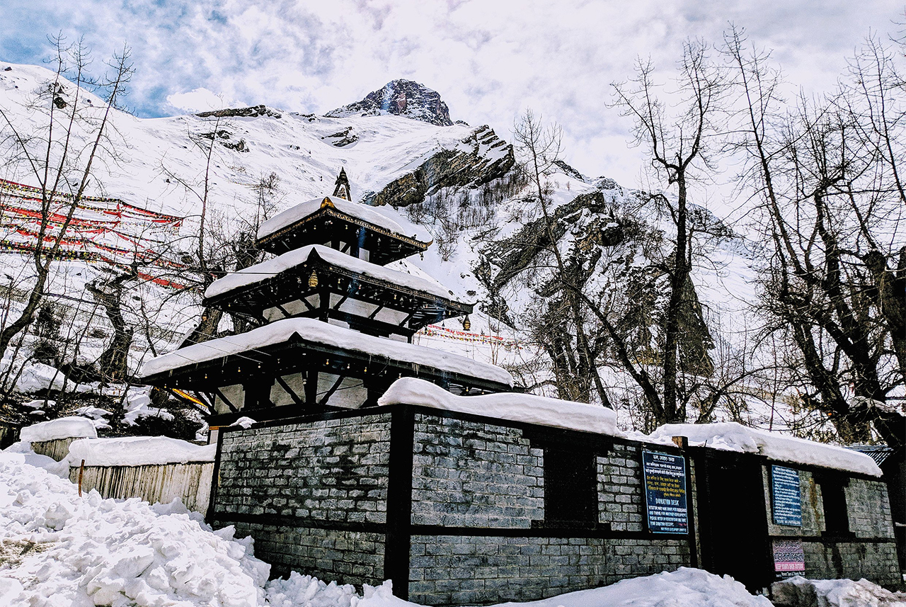
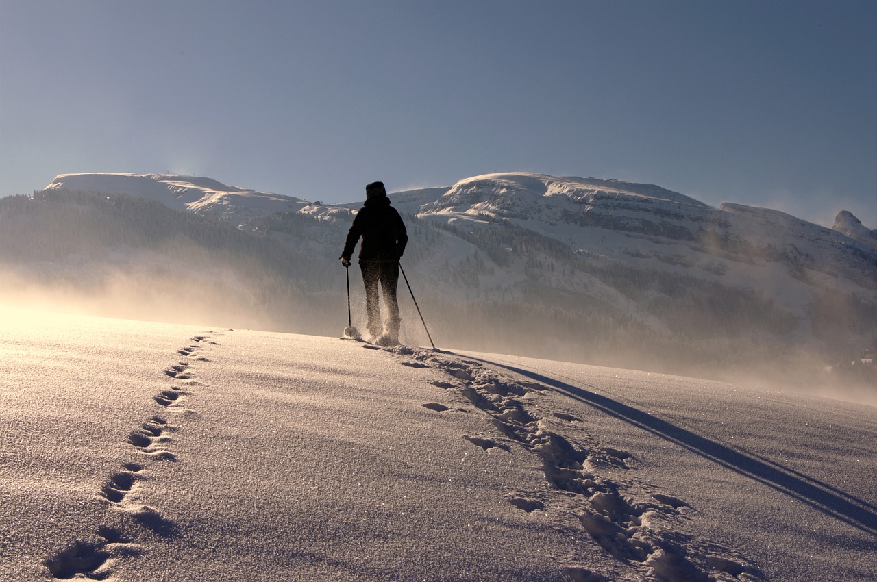
Climate ranges from tropical in the low lands to arctic in higher altitudes. |
| Season: |
Nepal has four major season:-
1) winter (December – February)
2)spring (March – May)
3)summer (June – August)
4)Autumn ( September – November)
Nepal can visited whole year around. |
| What to wear: |
Light weight cloth is recommended for May through October, warm garment are required In October – March, An umbrella or raincoat is must for the rainy season. |
| Monsoon: |
Mostly rains day and night, making following days crispy clean and fresh. Most of the Northern belt of the trans- Himalayan zone is rain shadowed and ideal for trekking especially such as Upper Mustang, Dolpo, Manaslu, Around Annapurna etc. |
| Political System: |
Nepal was declared a Federal Democratic Republic state on May 28, 2008, during the first meeting of the Constituent Assembly. It was previously a multiparty democracy since 1990 |
| National flower: |
Red Rhododendron (Laligurash) |
| National Animal: |
Cow |
| National Bird: |
Dafe (Impeyan Pheasant) |
| World Heritage Site (Cultural): |
1, Kathmandu Durbar Square
2, Pashupatinath
3, Boudhanath
4, Swayambhunath (Monkey Temple)
5, Chagunarayan
6, Patan Durbar Square
7, Bhaktapur Durbar Square
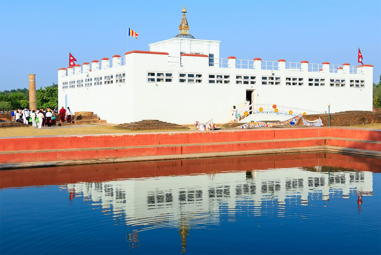
8, Lumbini |
| World Heritage site (Natural): |
1, Sagarmatha National Park (Everest Region)
2,Royal Chitwan National Park |


